If your ideal Saturday starts on a sunlit trail and ends with dinner in a calm, leafy town, Orinda should be on your shortlist. You get room to breathe, quick access to ridgeline hikes, and an easy rail ride into the city when you want it. This guide shows you where to hike, which neighborhoods fit a trail-first lifestyle, and what to know about permits, transit, schools, and seasonal advisories. Let’s dive in.
Orinda in a snapshot
Orinda sits on the east side of the Berkeley Hills in the Lamorinda area, which includes Lafayette and Moraga. The town climbs over wooded slopes with larger lots and curving roads, yet the compact downtown clusters around the Orinda BART station. Afternoons often feel warmer and sunnier than neighborhoods closer to the Bay, although microclimates vary by elevation and exposure. From many homes, you can be on a trail or at a reservoir in minutes.
Orinda also works for hybrid city-and-nature days. The Orinda BART station links directly into Oakland and San Francisco. Typical onboard time to downtown San Francisco often runs roughly 25 to 30 minutes, depending on your exact destination and transfers.
The open-space network at your doorstep
Orinda is ringed by East Bay Regional Park District preserves and East Bay Municipal Utility District watershed lands. That means ridge hikes, redwood canyons, reservoir loops, and long regional trail connections are part of daily life.
Lafayette Reservoir
The Lafayette Reservoir is the local favorite for a quick loop. The paved Lakeside Nature Trail is about 2.7 miles with gentle grades. If you want more challenge and views, take the Rim Trail for dirt paths and climbs. EBMUD posts seasonal advisories here, including algae notices, rental schedules, and fishing rules.
San Pablo Reservoir
For a larger lake experience with boat rentals and more expansive views, the San Pablo Reservoir sits just north of town. You can hike the west-side trails, rent a boat, or bring your own if it passes inspection. EBMUD updates launch and inspection protocols, including precautions related to invasive mussels, so check current rules before you go.
Briones Regional Park
Briones Regional Park offers wide-open ridges, oak woodlands, and long rolling trails just beyond North Orinda and Lafayette. It is a great choice for sunrise runs or panoramic weekend hikes. Parts of Briones operate under a Special Management Area that may include pilot rules to balance hikers, cyclists, and equestrians. Always scan the park page for current alerts before you head out.
Sibley Volcanic and Tilden Regional Parks
On Orinda’s west-side ridges, Sibley and Tilden frame classic East Bay hill life. Sibley is known for its volcanic history and ridge paths, while Tilden adds redwood groves, family picnic areas, and the scenic Inspiration Point.
- Tilden overview and visitor info: Tilden Regional Park
Long ridge links: East Bay Skyline Trail
The crest of the Berkeley Hills carries the East Bay Skyline National Recreation Trail and segments of the Bay Area Ridge Trail. These routes stitch together Tilden, Sibley, and other ridges for extended outings. If you want to turn a Saturday into a proper ridge traverse, start with the Skyline Trail access points to plan your staging and return.
Neighborhood cues for trail lovers
Every Orinda pocket connects to the outdoors in a different way. Use these quick cues to match your daily routine.
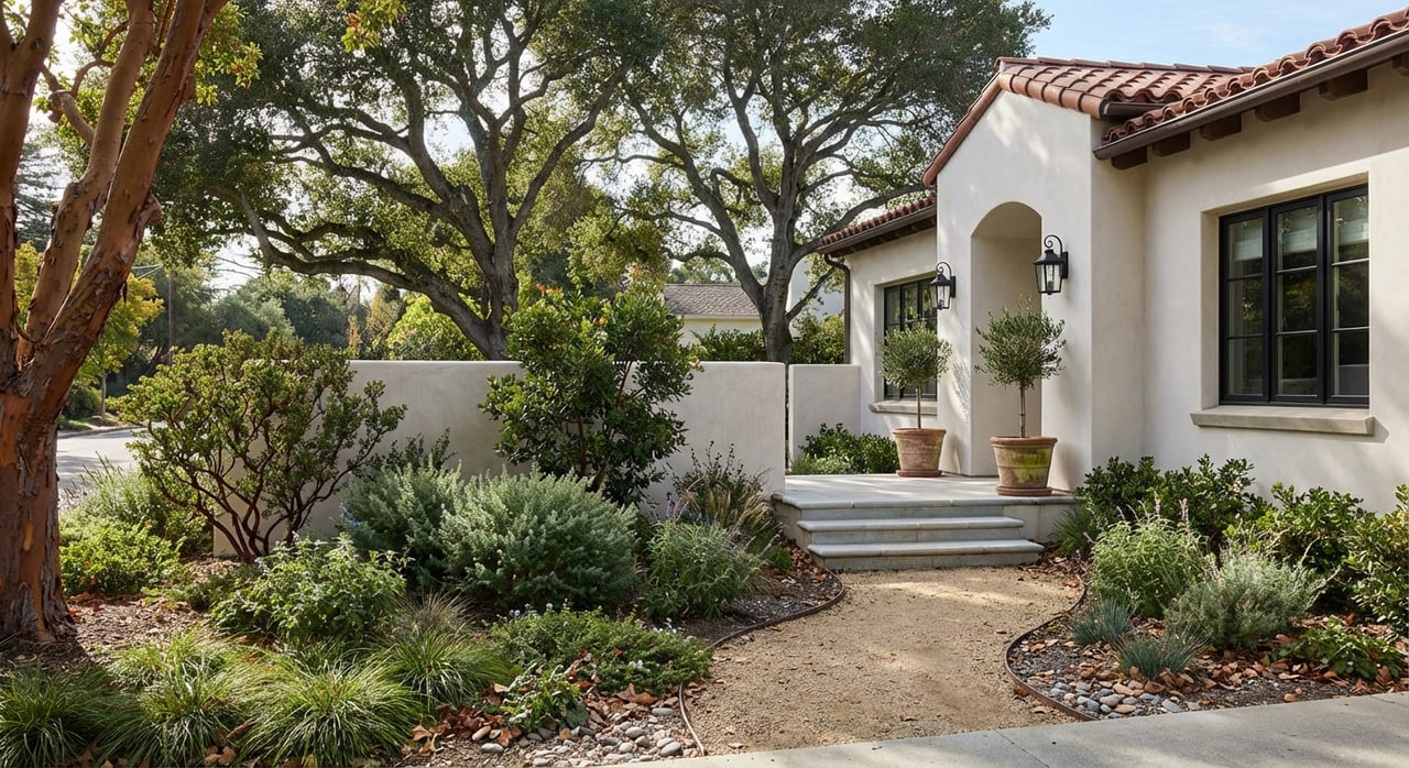
Sleepy Hollow and North Orinda/Glorietta
You see larger lots, mature trees, and curving hillside streets. Many homes are a short drive to Lafayette Reservoir and Briones trailheads, which makes morning loops or after-dinner walks easy. Streets near creeks and local paths offer short neighborhood strolls without getting in the car.
A highlight in the Glorietta and Wagner Ranch area is the 18-acre Nature Area, a preserved pocket of meadows and ponds used for education. The long-running Wildlife Festival has given the public a rare look inside, as covered by local reporting on the Wagner Ranch Nature Area.
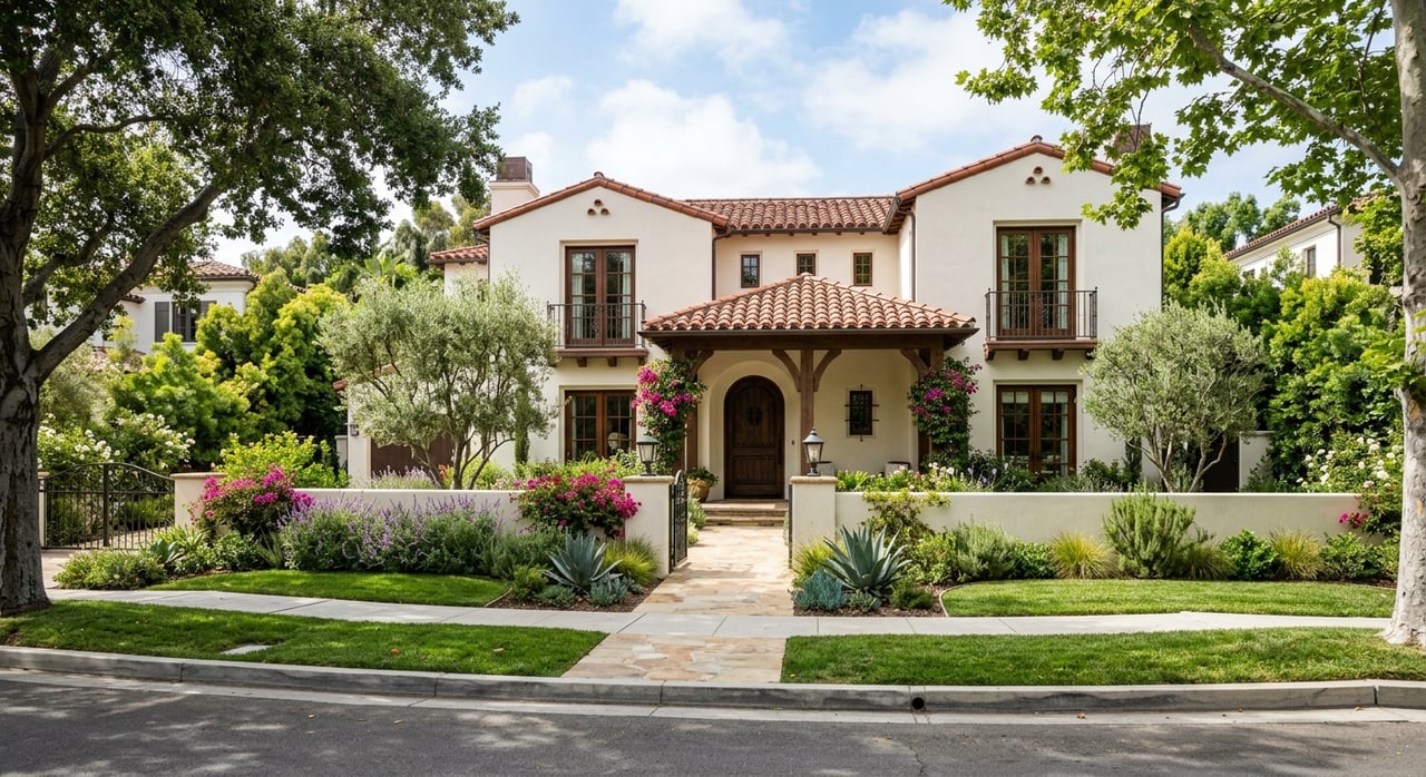
Orinda Village
If you value a village lifestyle and rail access, this is where you walk to cafés and the landmark Orinda Theatre, then roll a suitcase to BART. Trailheads up Old Tunnel Road put you on ridge routes toward Sibley and the Skyline network within minutes by car, and in some cases by bike or a longer walk.
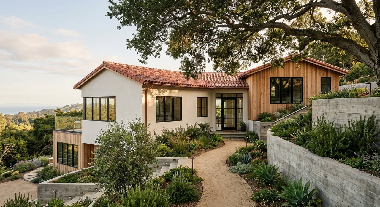
Wilder, Orindawoods, and ridgetop homes
These hills and custom-home pockets feel private and scenic. You get quick access to miles of single-track and fire roads along the ridges, so sunrise or sunset hikes become a daily habit. If you want space, views, and immediate trail-style landscape, this is a strong match.
A day in Orinda: trail first, city next
Picture a weekday that starts with a lakeside lap. You jog the paved loop at Lafayette Reservoir, grab coffee downtown, then head to the Orinda BART station for a midmorning ride to a meeting in the city. In the evening, you are back home in time for a short ridge walk as the light drops behind the hills. That blend of space, trails, and access sums up why Orinda feels so livable.
Permits, parking, and seasonal advisories
Before you lace up or load the car, a little planning goes a long way.
- EBMUD trail permits. Many watershed trails require a permit. Options include low-cost daily and annual passes. Buy and review rules on the EBMUD trail permit page. The Lakeside and Rim trails at Lafayette Reservoir do not require a permit.
- Reservoir rules and safety. Lafayette and San Pablo are water-supply reservoirs. EBMUD publishes boating, fishing, and seasonal algae advisories. Check the Lafayette Reservoir page or San Pablo Reservoir page for current conditions. Swimming and bodily contact rules apply.
- Special management areas. EBRPD uses pilot programs and special rules in sensitive zones, including at Briones Regional Park. Weekend restrictions, leash rules, or temporary closures can change by season.
- BART parking and timing. Orinda BART offers daily and reserved parking. Check the station page for current rates, reservations, and service notices. Travel times depend on your destination and transfer needs.
- Wildfire awareness. Orinda sits in a wildland-urban interface. Review local defensible-space guidance and seasonal closures posted by city and park agencies before peak fire weather.
Schools and town basics
Most Orinda addresses are served by the Orinda Union School District for K to 8. Area high schools are part of the Acalanes Union High School District, including Miramonte High School in Orinda. If schools are a priority, review district pages for current boundaries, report cards, and enrollment steps. For exact details, always confirm with the districts.
Is Orinda right for you?
If you want room to stretch out, daily access to ridges and reservoirs, and a simple train ride into the city, Orinda delivers a compelling mix. You can shape your days around the outdoors without giving up connection to the wider Bay Area. When you are ready to explore homes that match your trail style and wish list, request a confidential market consultation with Dan Walner.
FAQs
Do you need a permit to hike near Orinda?
- Many EBMUD watershed trails require a permit with daily or annual options, while Lafayette Reservoir’s Lakeside and Rim trails do not. Check EBMUD’s permit page for current rules and fees.
Can you launch a kayak at San Pablo Reservoir?
- Yes. San Pablo Reservoir offers launches and rentals, with inspection and seasonal rules that change. Review current EBMUD notices before you go.
How long is the BART ride from Orinda to downtown San Francisco?
- Onboard time is often about 25 to 30 minutes, depending on your exact station and any transfers. Always check the Orinda station page for schedules and service updates.
Which schools serve Orinda homes?
- K to 8 schools are in the Orinda Union School District, and local high schools are in the Acalanes Union High School District. Confirm boundaries and programs directly with the districts.
Where are the best ridge hikes close to town?
- Start with the East Bay Skyline Trail connections across the Berkeley Hills, plus Tilden and Sibley ridge routes. Use the Skyline Trail access guide to plan your staging and return.